
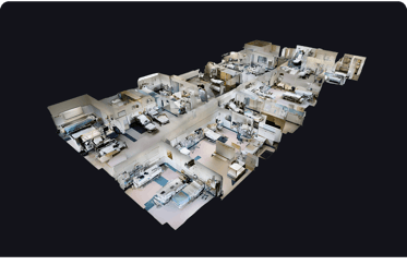
Map your estate and enable VPS
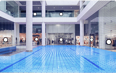
Spaces works with your existing tools and workflows, so you can use an existing 3D scan or capture a new one, then connect it to a VPS provider such as MultiSet or Immersal for precise indoor positioning.
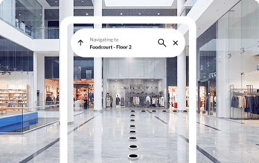
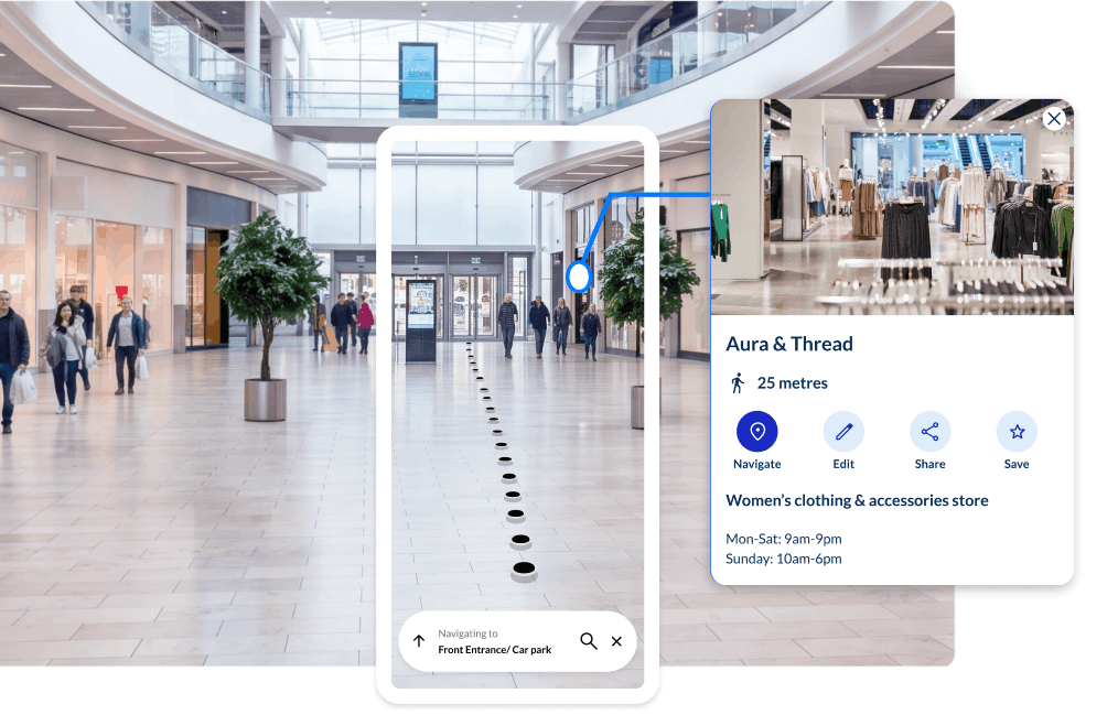
Give every visitor precise, turn-by-turn directions to any retailer, restaurant, or service point across your development. No app download, no beacons, no dedicated Wi-Fi infrastructure.
Zapworks Spaces is the easiest way to deploy reliable, app-free indoor navigation for shopping centres and commercial real estate. You can roll it out without pulling in your IT team, maintain it without developer support and every shopper, retailer, and member of staff can access it instantly via a QR code or link without having to download an app.
No beacon hardware, no Wi-Fi upgrades, no development sprints. Your marketing or facilities team goes from spatial scan to live navigation in days.
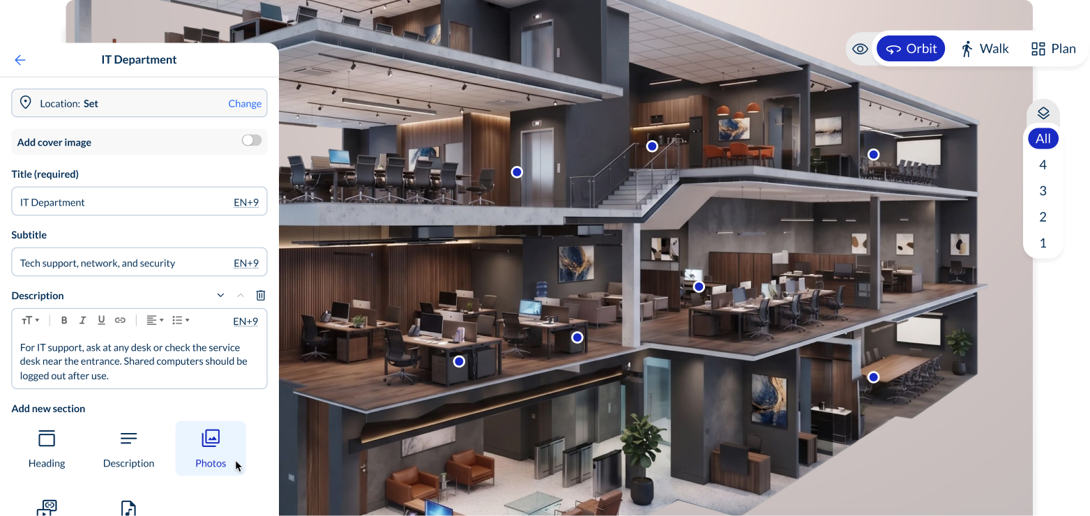
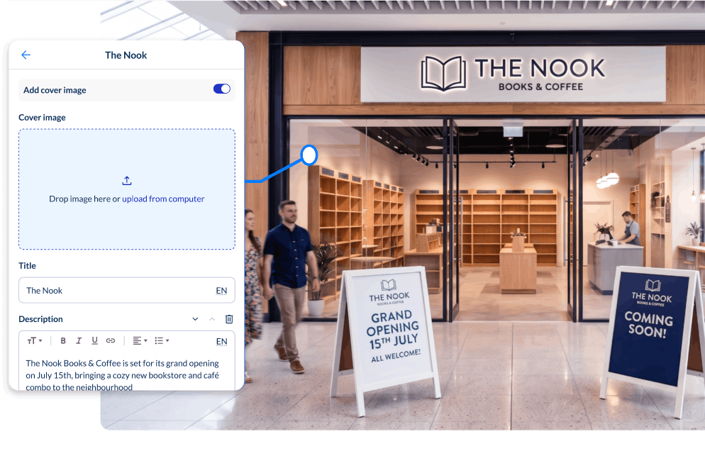
When a tenant changes unit or a new store opens, you can make updates in the no-code editor and publish them instantly. No developer, reprint, or redistribution required.
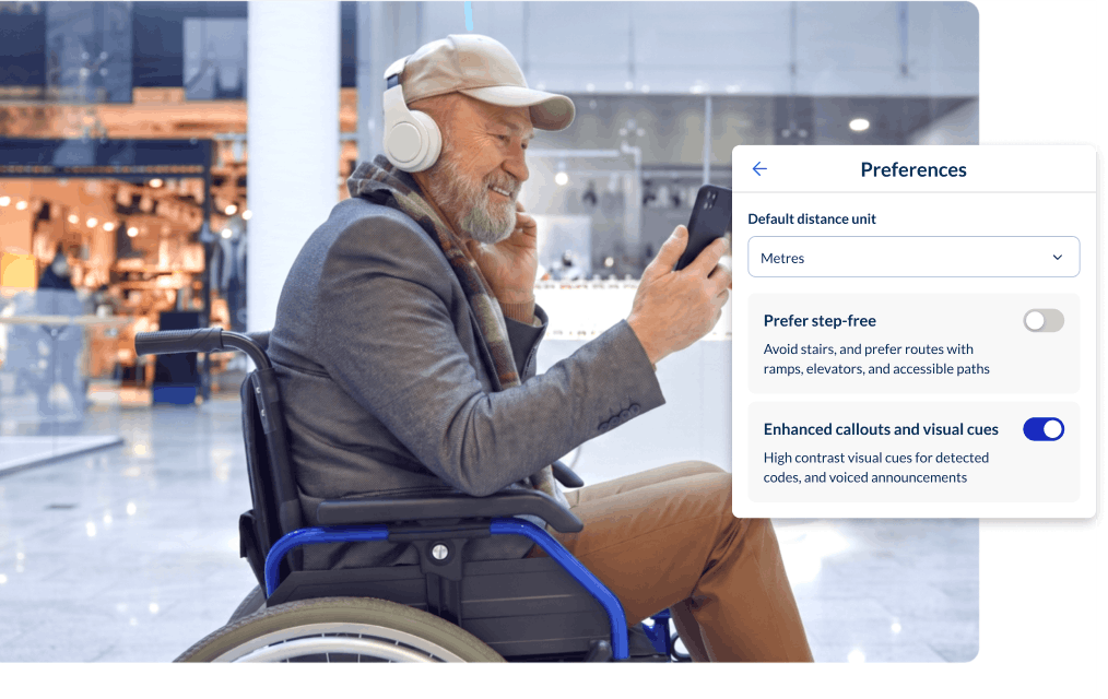
Shoppers and staff can navigate via QR code or link. Spaces is also screen-reader compatible and gives voice-guided directions for blind, low-vision and wheelchair users.
Zapworks Spaces gives shoppers, retailers and centre staff one shared way to move through a large development. Fewer missed visits, fewer directions requests at the information desk, and searchable routes to every unit and service point.
A shopper who cannot find the retailer they travelled to see leaves frustrated. In a multi-floor development with hundreds of units, that is a daily occurrence without reliable wayfinding. Zapworks Spaces makes every retailer, restaurant, service point, and facility a named, searchable destination.
Tenants leave. New retailers open. Food court layouts shift. A printed directory or static kiosk is out of date before the ink dries. When a retailer changes unit, update the destination in the no-code editor and the change goes live immediately. No developer, no reprint, no redistribution required.
Static signage and kiosks rarely meet screen-reader or tactile needs, and accessible route information is often missing entirely from a centre directory. Spaces delivers screen-reader-compatible guidance, voice-friendly turn-by-turn directions and prompts for lifts, escalators and accessible corridors. Every visitor uses the same navigation, not a separate accessibility mode.
Every retailer, restaurant, service area, and click-and-collect point is named, categorised, and findable by search across every floor of your development.
Add destination names and navigation content in multiple languages to welcome international visitors and support diverse catchment populations.
Visitors navigate via QR code or link — no download, no registration, no friction at the entrance. Works across iOS and Android smartphones and tablets.
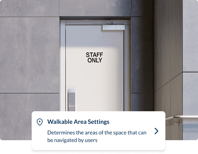
Map back-of-house destinations as restricted areas, visible only to authorised users through login-protected access. Contractors navigate independently to plant rooms and service areas without an escort.
Screen-reader-compatible guidance, voice-friendly directions, and prompts for lifts, escalators, and accessible corridors — one shared experience for every visitor.
When a retailer changes unit, a new tenant opens, or a layout is reconfigured, estate teams update in the editor and changes go live immediately. No developer required.
Zapworks Spaces is built to meet the security, access control, and data governance requirements of commercial property owners, estate managers, and centre management teams.
Your development map shows unit configurations, service routes, and access-sensitive areas. Navigation data is never cached on end-user devices, supporting GDPR compliance. Private hosting options keep your estate layout and routing data off shared infrastructure entirely.
Shoppers should not reach plant rooms, service corridors, or back-of-house facilities. Zapworks Spaces supports public navigation for visitor-facing areas and SSO-protected access for contractors and facilities staff, managed through your existing identity provider.
Spaces requires no beacon hardware, no network infrastructure changes, and no development resource to maintain. Estate teams manage destinations, routes, and access rules in the no-code editor. When layouts change, updates go live immediately without raising a ticket.
From scan to shareable link in days, not months.
Spaces works with your existing tools and workflows, so you can use an existing 3D scan or capture a new one, then connect it to a VPS provider such as MultiSet or Immersal for precise indoor positioning.
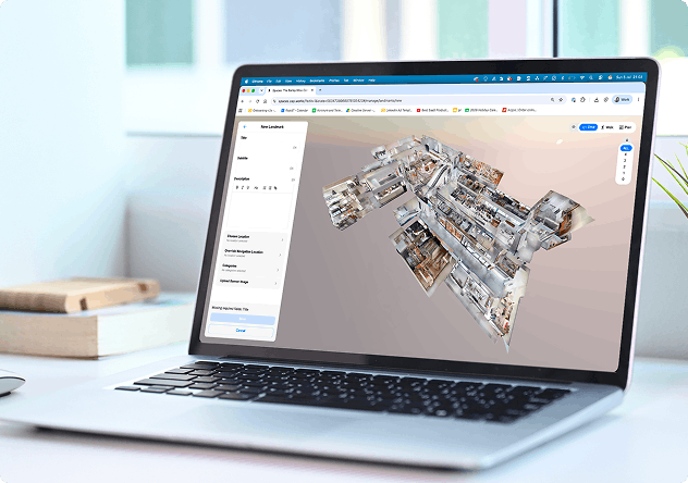
Use Spaces remotely via a web browser on desktop or on the ground using your smartphone to add every searchable destination: retailers, restaurants, and restricted back-of-house locations
Share navigation via QR codes at entrances and in tenant communications. When a retailer changes, a unit is vacated, or a layout shifts, update in the editor and go live immediately. No reprint and no developer.
Everything you need to know about indoor navigation for commercial real estate.